
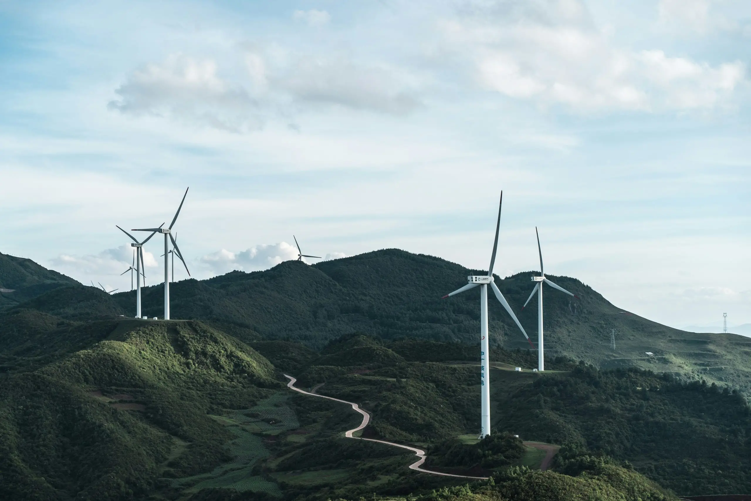
Mapping the Invisible
China has long been the world’s largest investor in renewable energy, but until now, no one had a complete picture of where its solar panels, wind turbines, and hydroelectric dams actually sit. That changed recently when a team of researchers from multiple Chinese institutions unveiled an artificial intelligence system capable of mapping the nation’s entire renewable energy infrastructure using satellite imagery and machine learning. The resulting database covers more than 10 million individual installations, from massive utility-scale solar farms in the Gobi Desert to rooftop photovoltaic panels on apartment blocks in Shanghai.
This is not just a technical curiosity. The mapping project addresses one of the most persistent challenges in renewable energy deployment: the lack of granular, up-to-date data on where generation assets are located and how they are connected. Without such data, grid operators struggle to balance supply and demand, especially as weather-dependent sources like wind and solar become a larger share of the mix. China, which aims to hit peak carbon emissions by 2030 and achieve carbon neutrality by 2060, needs this kind of intelligence to modernize its power system.
How the AI System Works
The AI model, trained on millions of labeled satellite images, can distinguish between different types of renewable energy installations with high accuracy. It uses a convolutional neural network architecture similar to those employed in self-driving car vision systems. The model was fed high-resolution optical and radar imagery from Chinese remote sensing satellites, as well as public datasets from sources like Sentinel-2. By analyzing patterns of shape, color, texture, and thermal signature, the system can classify a solar array, a wind turbine, or a hydroelectric plant with over 95% precision.
One of the breakthroughs is the system’s ability to detect even small-scale installations that traditional surveys often miss. Rooftop solar, for instance, is notoriously difficult to track because it is distributed across millions of buildings. The AI can identify these panels from orbit and estimate their capacity based on panel size and type. Early results suggest that previous official statistics may have underestimated China’s distributed solar capacity by as much as 20%.
The map updates automatically as new satellite imagery becomes available, meaning it can track the rapid expansion of renewable energy in real time. During 2023 alone, China added more than 200 gigawatts of solar and wind capacity, and the AI was able to reflect those additions within weeks. This speed is critical for grid planning and for verifying whether provinces are meeting their renewable portfolio targets.
Why This Matters for Grid Management
China’s power grid is already one of the most complex in the world, spanning thousands of kilometers and serving 1.4 billion people. Integrating variable renewable energy adds another layer of complexity. Solar and wind generation fluctuate with weather and time of day, so grid operators need to know exactly where power is being produced and where it is needed. The new mapping database can be combined with weather forecasts and load data to run more accurate simulations of grid behavior.
For example, if a cold front moves across northern China, the AI can predict which wind farms will see increased output and which solar farms will be shaded by clouds. Operators can then adjust dispatch from coal plants and battery storage accordingly. The same data helps identify grid congestion points where renewable energy is being curtailed because transmission lines are insufficient. By comparing generation locations with substation and line data, planners can prioritize new transmission investments.
There are also benefits for market design. China is experimenting with provincial and regional electricity markets that price power based on location and time. Having a precise inventory of generation assets allows regulators to set accurate locational marginal prices and to design capacity mechanisms that reward flexibility. Moreover, the mapping AI can detect fraud and misreporting: if a developer claims a 50 MW solar farm but satellite imagery shows only 30 MW, the discrepancy is immediately visible.
Global Implications
The rest of the world should pay attention because China’s approach offers a scalable template. Many countries, especially in the developing world, lack the resources to conduct ground surveys of their renewable energy infrastructure. Satellite-based AI mapping can fill that gap at a fraction of the cost. International organizations like the International Energy Agency and the World Bank have already expressed interest in adapting the technology for use in Africa, Southeast Asia, and South America.
Furthermore, the data is being made partially open access. The Chinese research team has released a subset of the dataset to the global scientific community, allowing researchers to validate and extend the work. This transparency builds trust and enables cross-border collaboration on climate change mitigation. For instance, the maps could help assess the global potential for transcontinental renewable energy trade, such as shipping solar power from the Gobi Desert to Southeast Asia via high-voltage direct current lines.
There are also security implications. Knowing exactly where critical energy infrastructure is located helps protect it from cyberattacks and physical threats. Conversely, some governments may worry about the strategic vulnerability of having their energy assets visible from space. China has addressed this by anonymizing data for military or sensitive installations, but the debate over data privacy versus transparency will continue.
Technical Challenges and Next Steps
Despite its success, the system is not perfect. Cloud cover can obscure satellite views, and some installations—like underwater turbines or new technologies—are harder to detect. The AI also struggles with distinguishing between solar panels and certain types of reflective roofs in urban areas. To improve accuracy, the team is integrating multispectral and thermal infrared data that can capture heat signatures from operating solar panels, which are typically warmer than their surroundings.
Another enhancement involves connecting the map to real-time operational data from smart meters and SCADA systems. This would allow the AI to not only see where assets are but also how much power they are generating at any moment. Such a digital twin of the renewable fleet could enable predictive maintenance, optimize storage dispatch, and even automate grid recovery after faults.
China is also scaling the system to cover other forms of energy infrastructure, including coal plants, hydroelectric reservoirs, and electric vehicle charging stations. The ultimate goal is a complete energy system map that can serve as the foundation for a nationwide smart grid. If successful, this could reduce the need for costly reserve margins and accelerate the retirement of fossil fuel plants.
Policy and Market Response
Chinese policymakers have already begun using the maps to revise renewable energy targets. Several provinces have increased their 2025 solar and wind goals after the AI revealed that more rooftop space is available than previously thought. The central government is also using the data to allocate subsidies more efficiently, ensuring that financial support goes to actual operating installations rather than to speculative projects.
Private companies are benefiting too. Developers use the maps to identify ideal locations for new wind farms based on proximity to existing transmission lines and favorable wind patterns. Insurance companies are using the data to assess risk for renewable energy assets, which in turn lowers financing costs. And equipment manufacturers are analyzing the geographic distribution of panel types to optimize their supply chains and after-sales service networks.
Outside of China, utilities and grid operators in Europe and North America are watching closely. Some have already started similar pilot projects using commercial satellite imagery and open-source AI tools. However, they face challenges related to data privacy regulations (e.g., GDPR) and the fragmentation of grid operators across jurisdictions. China’s unified approach, backed by state-owned satellite operators and a central planning system, gives it a speed advantage that market-based economies may find hard to replicate.
In the longer term, the mapping AI could evolve into a global monitoring system for clean energy. International climate agreements require transparency in emissions reductions, and independently verified satellite data could become a trusted source for reporting. The technology also supports the concept of “energy justice” by revealing disparities in renewable energy access between rich and poor regions, allowing development banks to target investments where they are most needed.
The implications stretch beyond energy. The same AI architecture can be adapted to map deforestation, urban sprawl, water resources, and agricultural land use. China’s achievement in renewable energy mapping may therefore serve as a proof of concept for using artificial intelligence to monitor and manage the planet’s natural and built environment at an unprecedented scale. What began as a tool to see China’s solar panels from space could end up helping humanity navigate the entire sustainability transition.
Source: AI News News